

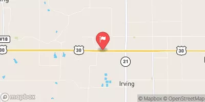
Salt Creek Near Elberon, Ia Realtime Data
SALT CREEK NEAR ELBERON, IA
Realtime Data • Report • Conditions
249
Discharge (cfs)
7.3
Gauge Height (ft)
USGS 05452000
Streamflow discharge was last observed at 239 cfs, and a gauge height of 7.28 feet.
With the
% decrease since yesterday,
the streamflow average over the past 10 days is 296 .
Weather today, Tomorrow,
The constituents of the flow are primarily agricultural runoff and precipitation. There are no major tributaries or dams in the immediate vicinity of the gauge. Seasonally, the flow tends to be highest in the spring due to snowmelt and precipitation, and lowest in the late summer and fall. Interestingly, the Salt Creek was once used to transport salt from a nearby mine to other parts of the state, hence its name. Today, it is primarily used for recreational purposes such as fishing and kayaking.
October 25, 2026
| Elevation | 802.0 ft |
| Last Updated | |
| Gage height, ft | 7.28 ft |
| Streamflow, ft³/s | 239.0 ft3/s |
| Percent of Normal | 743% |
| Year Over Year Average | 34 cfs |
| 24hr Flow Prediction | cfs |
| Maximum Recorded | 16,100 cfs |
| Geolocation | 41.96, -92.31 |
 Continue with Snoflo Premium