

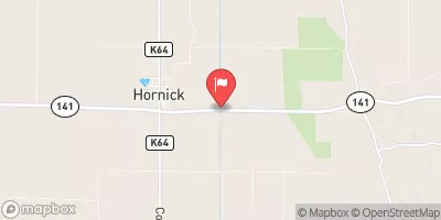
West Fork Ditch At Hornick, Ia Realtime Data
WEST FORK DITCH AT HORNICK, IA
Realtime Data • Report • Conditions
80
Discharge (cfs)
6.7
Gauge Height (ft)
USGS 06602020
Streamflow discharge was last observed at 80 cfs, and a gauge height of 6.70 feet.
With the
% decrease since yesterday,
the streamflow average over the past 10 days is 102 .
Weather today, Tomorrow,
The river is primarily fed by rainfall and snowmelt runoff from surrounding agricultural land. There are no major dams or tributaries that significantly impact the river's flow. The stream gauge shows a clear seasonal trend, with peak flow occurring during the spring melt and significant drops during the summer months. Interestingly, the West Fork Ditch at Hornick, IA stream gauge played a crucial role in flood monitoring during the historic Midwest floods of 2019.
October 23, 2026
| Elevation | 1,071.0 ft |
| Last Updated | |
| Temperature, air, °F | 42.9 deg F |
| Streamflow, ft3/s | 80.1 ft3/s |
| Gage height, feet | 6.7 ft |
| Percent of Normal | 39% |
| Year Over Year Average | 209 cfs |
| 24hr Flow Prediction | cfs |
| Maximum Recorded | 12,400 cfs |
| Geolocation | 42.23, -96.08 |
 Continue with Snoflo Premium