

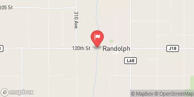
West Nishnabotna River At Randolph, Ia Realtime Data
WEST NISHNABOTNA RIVER AT RANDOLPH, IA
Realtime Data • Report • Conditions
2,660
Discharge (cfs)
11.5
Gauge Height (ft)
Streamflow discharge was last observed at 2,660 cfs, and a gauge height of 11.47 feet.
With the
% decrease since yesterday,
the streamflow average over the past 10 days is 3,208 .
Weather today, Tomorrow,
The river is fed by precipitation and runoff from agricultural and urban areas. There are no major tributaries or dams in the immediate area. Seasonal trends show a peak in flow during the spring months due to snowmelt and rainfall, while summer and fall months tend to have lower flow. Interesting facts about the West Nishnabotna River include its historical importance to Native American tribes and its designation as a National Water Trail. The river also serves as a habitat for various fish species, including the endangered Topeka shiner.
October 7, 2026
| Elevation | 956.0 ft |
| Last Updated | |
| Gage height, ft | 11.47 ft |
| Nitrate plus nitrite, water, in situ, mg/L as N | 11.4 mg/l as N |
| Streamflow, ft³/s | 2660.0 ft3/s |
| Turbidity, water, unfiltered, monochrome near infra-red LED light, 780-900 nm, detector angles at 90 ±2.5° and 0-45°, ratiometric, FBRU | 192.0 FBRU |
| Phosphorus, water, unfiltered, mg/L as phosphorus | 0.16 mg/l as P |
| Temperature, water, °C | 16.4 deg C |
| Percent of Normal | 545% |
| Year Over Year Average | 488 cfs |
| 24hr Flow Prediction | cfs |
| Maximum Recorded | 33,600 cfs |
 Continue with Snoflo Premium