

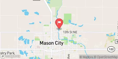
Winnebago River At Mason City, Ia Realtime Data
WINNEBAGO RIVER AT MASON CITY, IA
Realtime Data • Report • Conditions
311
Discharge (cfs)
5.4
Gauge Height (ft)
Streamflow discharge was last observed at 311 cfs, and a gauge height of 5.42 feet.
With the
% decrease since yesterday,
the streamflow average over the past 10 days is 288 .
Weather today, Tomorrow,
The river is a tributary of the Shell Rock River and has several dams, including the Winnebago Dam. The river's flow is primarily from snowmelt and precipitation, with spring and summer being the peak seasons. The watershed is mainly agricultural land, with some urban areas. The river has experienced flooding in the past, with a significant flood in 2008 causing millions of dollars in damages. The water quality is impacted by agricultural runoff and urban development. The Winnebago River is popular for fishing and recreational activities, with smallmouth bass and walleye being the most common catches.
October 22, 2026
| Elevation | 1,101.0 ft |
| Last Updated | |
| Gage height, ft | 5.42 ft |
| Streamflow, ft³/s | 311.0 ft3/s |
| Percent of Normal | 252% |
| Year Over Year Average | 123 cfs |
| 24hr Flow Prediction | cfs |
| Maximum Recorded | 7,950 cfs |
 Continue with Snoflo Premium