

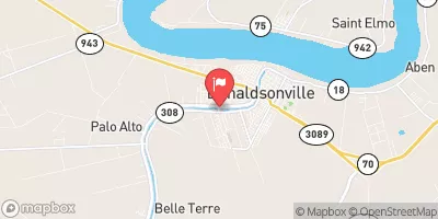
Bayou Lafourche Sw Of Donaldsonville, La Realtime Data
BAYOU LAFOURCHE SW OF DONALDSONVILLE, LA
Realtime Data • Report • Conditions
220
Discharge (cfs)
6.8
Gauge Height (ft)
Streamflow discharge was last observed at 220 cfs, and a gauge height of 6.75 feet.
With the
% decrease since yesterday,
the streamflow average over the past 10 days is 291 .
Weather today, Tomorrow,
The primary constituents of the flow are rainfall, surface water runoff, and groundwater discharge. The bayou is fed by several tributaries, including Bayou des Allemands and Bayou Lafourche North. There are no major dams along the bayou. Seasonal trends show that flow decreases during the dry season (fall and winter) and increases during the wet season (spring and summer). Interestingly, the bayou was once used as a major transportation route, with steamboats carrying goods and passengers between New Orleans and other towns along the bayou.
October 21, 2026
| Elevation | 9.0 ft |
| Last Updated | |
| Gage height, ft | 6.75 ft |
| Precipitation, total, in | 0.0 in |
| Stream water level elevation above NAVD 1988, in ft | 5.93 ft |
| Streamflow, ft³/s | 220.0 ft3/s |
| Percent of Normal | 69% |
| Year Over Year Average | 320 cfs |
| 24hr Flow Prediction | cfs |
| Maximum Recorded | 576 cfs |
| Geolocation | 30.10, -91.01 |
 Continue with Snoflo Premium