

Cypress Bayou Near Keithville, La Realtime Data
CYPRESS BAYOU NEAR KEITHVILLE, LA
Realtime Data • Report • Conditions
4
Discharge (cfs)
1.4
Gauge Height (ft)
USGS 07351500
Streamflow discharge was last observed at 4 cfs, and a gauge height of 1.36 feet.
With the
% decrease since yesterday,
the streamflow average over the past 10 days is 3 .
Weather today, Tomorrow,
The bayou flows into the Red River and is not affected by any major dams. Seasonal trends show higher flow during the wetter months of the year, with occasional flooding. Interestingly, the Cypress Bayou was once a key trading route for Native Americans and early settlers, and was even used for smuggling during the Civil War. Today, it is a popular spot for fishing and recreation.
October 21, 2026
| Elevation | 173.0 ft |
| Last Updated | |
| Gage height, ft | 1.36 ft |
| Streamflow, ft³/s | 4.24 ft3/s |
| Stream water level elevation above NAVD 1988, in ft | 163.99 ft |
| Percent of Normal | 127% |
| Year Over Year Average | 3 cfs |
| 24hr Flow Prediction | cfs |
| Maximum Recorded | 10,800 cfs |
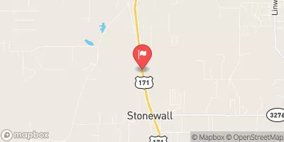
| Geolocation | 32.30, -93.83 |
 Continue with Snoflo Premium