

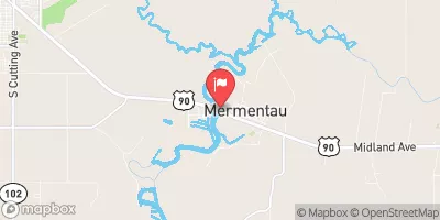
Mermentau River At Mermentau, La Realtime Data
MERMENTAU RIVER AT MERMENTAU, LA
Realtime Data • Report • Conditions
89
Discharge (cfs)
2.0
Gauge Height (ft)
Streamflow discharge was last observed at 89 cfs, and a gauge height of 1.95 feet.
With the
% decrease since yesterday,
the streamflow average over the past 10 days is 434 .
Weather today, Tomorrow,
The river is primarily fed by rainfall and has no major tributaries or dams impacting its flow. Seasonally, the river experiences higher flow during the wet season and lower flow during the dry season. Interestingly, the river is known for its unique hydrology, with portions of the river flowing in opposite directions due to varying tides and wind patterns. College students interested in hydrology or water resource management may find the Mermentau River at Mermentau, LA stream gauge data useful for studying the impact of rainfall and seasonal variations on river flow.
October 22, 2026
| Elevation | 1.0 ft |
| Last Updated | |
| Water velocity reading from field sensor, feet per second | -0.01 ft/sec |
| Gage height, ft | 1.95 ft |
| Streamflow, ft³/s | 88.7 ft3/s |
| Stream water level elevation above NAVD 1988, in ft | 0.66 ft |
| Percent of Normal | 15% |
| Year Over Year Average | 613 cfs |
| 24hr Flow Prediction | cfs |
| Maximum Recorded | 38,200 cfs |
 Continue with Snoflo Premium