

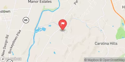
Bennett Creek At Park Mills, Md Realtime Data
BENNETT CREEK AT PARK MILLS, MD
Realtime Data • Report • Conditions
27
Discharge (cfs)
1.6
Gauge Height (ft)
USGS 01643500
Streamflow discharge was last observed at 27 cfs, and a gauge height of 1.62 feet.
With the
% decrease since yesterday,
the streamflow average over the past 10 days is 42 .
Weather today, Tomorrow,
The creek is fed by several smaller streams and drains a watershed area of approximately 36 square miles. There are no major dams along the creek, but there are several smaller ones that can affect flow rates during seasonal changes. During the winter, flows can increase due to melting snow and ice, while in the summer months, flows are typically lower due to decreased precipitation. Interestingly, the Bennett Creek is known for its high-quality trout habitat, making it a popular spot for fishing enthusiasts.
October 23, 2026
| Elevation | 304.0 ft |
| Last Updated | |
| Gage height, ft | 1.62 ft |
| Stream water level elevation above NAVD 1988, in ft | 234.2 ft |
| Streamflow, ft³/s | 26.6 ft3/s |
| Percent of Normal | 128% |
| Year Over Year Average | 21 cfs |
| 24hr Flow Prediction | cfs |
| Maximum Recorded | 5,690 cfs |
| Geolocation | 39.29, -77.41 |
 Continue with Snoflo Premium