

Deer Creek At Rocks, Md Realtime Data
DEER CREEK AT ROCKS, MD
Realtime Data • Report • Conditions
54
Discharge (cfs)
2.1
Gauge Height (ft)
USGS 01580000
Streamflow discharge was last observed at 48 cfs, and a gauge height of 2.07 feet.
With the
% decrease since yesterday,
the streamflow average over the past 10 days is 77 .
Weather today, Tomorrow,
The watershed includes several tributaries and dams, including Broad Creek and Deer Creek Reservoir. Seasonal trends show higher flow in the spring due to snowmelt and precipitation, while summer months have lower flow due to decreased rainfall. The watershed serves as a source of drinking water for Harford County, MD. An interesting fact about the hydrology of the area is that the Deer Creek watershed has been impacted by past coal mining activities, which can affect water quality and flow.
October 16, 2026
| Elevation | 262.0 ft |
| Last Updated | |
| Gage height, ft | 2.07 ft |
| Streamflow, ft³/s | 47.9 ft3/s |
| Stream water level elevation above NAVD 1988, in ft | 251.66 ft |
| Percent of Normal | 81% |
| Year Over Year Average | 67 cfs |
| 24hr Flow Prediction | cfs |
| Maximum Recorded | 8,400 cfs |
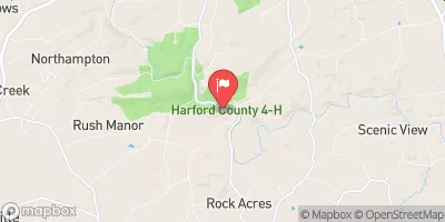
| Geolocation | 39.63, -76.40 |
 Continue with Snoflo Premium