

North Branch Potomac River At Steyer, Md Realtime Data
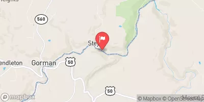
NORTH BRANCH POTOMAC RIVER AT STEYER, MD
Realtime Data • Report • Conditions
195
Discharge (cfs)
2.9
Gauge Height (ft)
USGS 01595000
Streamflow discharge was last observed at 195 cfs, and a gauge height of 2.89 feet.
With the
% decrease since yesterday,
the streamflow average over the past 10 days is 181 .
Weather today, Tomorrow,
The river's flow is influenced by various constituents, including precipitation, snowmelt, and groundwater. The nearby Jennings Randolph Lake serves as a dam for the river, regulating its flow. Seasonal trends show a peak in flow during spring due to snowmelt and a lower flow during summer and fall. The river is known for its excellent trout fishing, and the area attracts many outdoor enthusiasts.
October 15, 2026
| Elevation | 2,276.0 ft |
| Last Updated | |
| Gage height, ft | 2.89 ft |
| Stream water level elevation above NAVD 1988, in ft | 2278.45 ft |
| Streamflow, ft³/s | 195.0 ft3/s |
| Percent of Normal | 442% |
| Year Over Year Average | 44 cfs |
| 24hr Flow Prediction | cfs |
| Maximum Recorded | 4,210 cfs |
| Geolocation | 39.30, -79.31 |
 Continue with Snoflo Premium