

Stillwater River Near Sterling, Ma Realtime Data
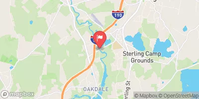
STILLWATER RIVER NEAR STERLING, MA
Realtime Data • Report • Conditions
8
Discharge (cfs)
4.0
Gauge Height (ft)
USGS 01095220
Streamflow discharge was last observed at 8 cfs, and a gauge height of 4.01 feet.
With the
% decrease since yesterday,
the streamflow average over the past 10 days is 16 .
Weather today, Tomorrow,
The river is primarily fed by precipitation and snowmelt, and has several smaller tributaries. The river passes through several towns and is dammed in places. Seasonally, the river flows highest in the spring due to snowmelt, and lowest in the late summer and fall. Interesting facts about the Stillwater River include its historical use for fishing and mills, as well as its designation as a scenic river by the Massachusetts Department of Conservation and Recreation.
October 11, 2026
| Elevation | 403.0 ft |
| Last Updated | |
| Gage height, ft | 4.01 ft |
| Streamflow, ft³/s | 7.57 ft3/s |
| Specific conductance, water, unfiltered, microsiemens per centimeter at 25°C | 236.0 uS/cm @25C |
| Temperature, water, °C | 10.8 deg C |
| Precipitation, total, in | 0.0 in |
| Percent of Normal | 96% |
| Year Over Year Average | 8 cfs |
| 24hr Flow Prediction | cfs |
| Maximum Recorded | 1,540 cfs |
 Continue with Snoflo Premium