

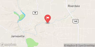
Finley Creek Below Riverdale, Mo Realtime Data
FINLEY CREEK BELOW RIVERDALE, MO
Realtime Data • Report • Conditions
21
Discharge (cfs)
0.8
Gauge Height (ft)
Streamflow discharge was last observed at 21 cfs, and a gauge height of 0.76 feet.
With the
% decrease since yesterday,
the streamflow average over the past 10 days is 29 .
Weather today, Tomorrow,
The primary sources of flow in the creek come from surface runoff and precipitation. There are no significant tributaries or dams that affect the flow levels. Seasonal trends show that flow levels are highest during spring due to snowmelt and rainfall. Additionally, summer months have the lowest flow levels due to decreased precipitation. Interestingly, the hydrology of the creek is affected by the presence of caves and sinkholes, which can lead to sudden surges in flow levels after heavy rainfall. Overall, the Finley Creek streamgauge provides valuable information for monitoring water levels and predicting potential flooding in the area.
October 10, 2026
| Elevation | 1,048.0 ft |
| Last Updated | |
| Gage height, ft | 0.76 ft |
| Streamflow, ft³/s | 21.1 ft3/s |
| Percent of Normal | 57% |
| Year Over Year Average | 37 cfs |
| 24hr Flow Prediction | cfs |
| Maximum Recorded | 21,800 cfs |
 Continue with Snoflo Premium