

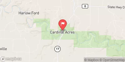
Jacks Fork Near Mountain View, Mo Realtime Data
JACKS FORK NEAR MOUNTAIN VIEW, MO
Realtime Data • Report • Conditions
37
Discharge (cfs)
0.7
Gauge Height (ft)
Streamflow discharge was last observed at 37 cfs, and a gauge height of 0.72 feet.
With the
% decrease since yesterday,
the streamflow average over the past 10 days is 25 .
Weather today, Tomorrow,
Geological Survey, provides data on the flow of the Jacks Fork River, a popular recreational waterway in southern Missouri. The river is primarily fed by springs, with occasional contributions from tributaries such as Rocky Creek and Alley Spring. Seasonal trends in flow are common, with high water levels in the spring and early summer and lower levels in the fall and winter. The Jacks Fork is notable for its clear water and scenic bluffs, and it is home to a variety of aquatic wildlife including smallmouth bass and Ozark hellbenders. Additionally, the river has cultural significance as a key feature of the Ozark National Scenic Riverways, a protected area managed by the National Park Service.
October 16, 2026
| Elevation | 872.0 ft |
| Last Updated | |
| Gage height, ft | 0.72 ft |
| Temperature, water, °C | 19.1 deg C |
| Streamflow, ft³/s | 37.0 ft3/s |
| Percent of Normal | 82% |
| Year Over Year Average | 45 cfs |
| 24hr Flow Prediction | cfs |
| Maximum Recorded | 45,000 cfs |
| Geolocation | 37.06, -91.67 |
 Continue with Snoflo Premium