

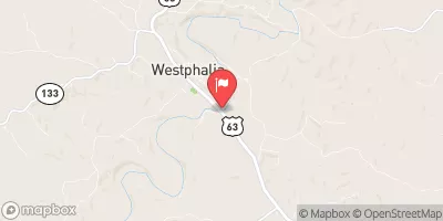
Maries River At Westphalia, Mo Realtime Data
MARIES RIVER AT WESTPHALIA, MO
Realtime Data • Report • Conditions
4
Discharge (cfs)
0.3
Gauge Height (ft)
Streamflow discharge was last observed at 4 cfs, and a gauge height of 0.27 feet.
With the
% decrease since yesterday,
the streamflow average over the past 10 days is 4 .
Weather today, Tomorrow,
The river is primarily fed by rainfall and snowmelt, and its flow varies greatly throughout the year, with peak flows occurring during the spring and summer months. There are no major dams or tributaries associated with the Maries River at Westphalia. Interestingly, the Maries River is known for its high water quality and is a popular destination for fishing and canoeing. However, it is also prone to flooding, especially during periods of heavy rain. Overall, the Maries River at Westphalia is an important hydrological feature in central Missouri that supports a variety of recreational and ecological activities.
October 22, 2026
| Elevation | 553.0 ft |
| Last Updated | |
| Gage height, ft | 0.27 ft |
| Streamflow, ft³/s | 4.25 ft3/s |
| Percent of Normal | 46% |
| Year Over Year Average | 9 cfs |
| 24hr Flow Prediction | cfs |
| Maximum Recorded | 34,300 cfs |
 Continue with Snoflo Premium