

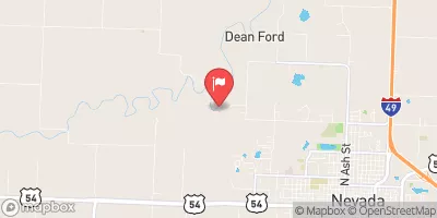
Marmaton River Near Nevada, Mo Realtime Data
MARMATON RIVER NEAR NEVADA, MO
Realtime Data • Report • Conditions
29
Discharge (cfs)
2.5
Gauge Height (ft)
Streamflow discharge was last observed at 22 cfs, and a gauge height of 2.47 feet.
With the
% decrease since yesterday,
the streamflow average over the past 10 days is 56 .
Weather today, Tomorrow,
The river's flow is primarily provided by precipitation and runoff from surrounding areas, with potential tributaries including Little Osage River and Panther Creek. Seasonal trends show that the river experiences higher flow during the spring and fall months due to increased rainfall. There are no major dams located on the Marmaton River. A quirky fact about the river is that it was once a popular location for steamboat travel in the late 1800s. Overall, the Marmaton River's hydrology reflects a typical Midwestern river system, with seasonal variations in flow and no major man-made alterations.
October 23, 2026
| Elevation | 765.0 ft |
| Last Updated | |
| Gage height, ft | 2.47 ft |
| Streamflow, ft³/s | 21.5 ft3/s |
| Percent of Normal | 113% |
| Year Over Year Average | 26 cfs |
| 24hr Flow Prediction | cfs |
| Maximum Recorded | 24,900 cfs |
 Continue with Snoflo Premium