

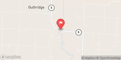
Mussel Fork Near Musselfork, Mo Realtime Data
MUSSEL FORK NEAR MUSSELFORK, MO
Realtime Data • Report • Conditions
17
Discharge (cfs)
5.4
Gauge Height (ft)
Streamflow discharge was last observed at 16 cfs, and a gauge height of 5.43 feet.
With the
% decrease since yesterday,
the streamflow average over the past 10 days is 27 .
Weather today, Tomorrow,
The flow of the stream is primarily supplied by precipitation and runoff, with little contribution from groundwater. There are no major tributaries or dams along the stream. The stream experiences seasonal fluctuations in flow, with higher levels in the spring and lower levels in the summer and fall. Interestingly, the Mussel Fork is named after the mussels that used to populate the stream, but have since disappeared due to pollution and habitat destruction. Overall, the Mussel Fork is a small but important stream in the hydrology of Missouri.
October 24, 2026
| Elevation | 656.0 ft |
| Last Updated | |
| Gage height, ft | 5.43 ft |
| Streamflow, ft³/s | 15.6 ft3/s |
| Percent of Normal | 211% |
| Year Over Year Average | 8 cfs |
| 24hr Flow Prediction | cfs |
| Maximum Recorded | 15,400 cfs |
| Geolocation | 39.52, -92.95 |
 Continue with Snoflo Premium