

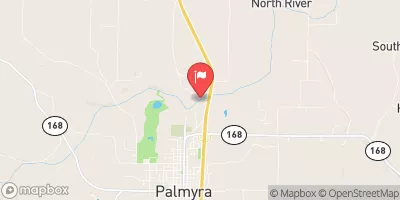
North River At Palmyra, Mo Realtime Data
NORTH RIVER AT PALMYRA, MO
Realtime Data • Report • Conditions
12
Discharge (cfs)
3.6
Gauge Height (ft)
Streamflow discharge was last observed at 12 cfs, and a gauge height of 3.58 feet.
With the
% decrease since yesterday,
the streamflow average over the past 10 days is 15 .
Weather today, Tomorrow,
The river's flow is primarily fed by runoff from rainfall and snowmelt, with no significant tributaries or dams affecting its hydrology. Seasonal trends show the highest flows occur in the spring due to snowmelt and rainfall, while summer and fall see lower flows due to decreased precipitation. Interestingly, the North River's hydrology is affected by karst topography, which can cause sudden and unpredictable changes in flow due to underground water systems. Despite its unremarkable characteristics, the North River at Palmyra, MO streamgauge provides important information for water management and flood forecasting.
October 24, 2026
| Elevation | 489.0 ft |
| Last Updated | |
| Gage height, ft | 3.58 ft |
| Streamflow, ft³/s | 11.7 ft3/s |
| Percent of Normal | 69% |
| Year Over Year Average | 17 cfs |
| 24hr Flow Prediction | cfs |
| Maximum Recorded | 17,600 cfs |
 Continue with Snoflo Premium