

River Des Peres Near University City, Mo Realtime Data
RIVER DES PERES NEAR UNIVERSITY CITY, MO
Realtime Data • Report • Conditions
0
Discharge (cfs)
3.5
Gauge Height (ft)
Streamflow discharge was last observed at 0 cfs, and a gauge height of 3.52 feet.
With the
% decrease since yesterday,
the streamflow average over the past 10 days is 0 .
Weather today, Tomorrow,
The river's flow is primarily dependent on stormwater runoff and wastewater discharge from the surrounding urban areas. The stream has several tributaries, including Maline Creek and Deer Creek, which can affect its flow. There are no significant dams on the river, but the City of St. Louis has built several stormwater management structures to prevent flooding. The river experiences seasonal trends with higher flows during the rainy season and lower flows during the dry season. One quirky fact about the River des Peres is that it was channelized in the early 20th century to prevent flooding but has since been a focus of restoration efforts to improve water quality and habitat for wildlife.
October 6, 2026
| Elevation | 516.0 ft |
| Last Updated | |
| Gage height, ft | 3.52 ft |
| Streamflow, ft³/s | 0.21 ft3/s |
| Percent of Normal | 54% |
| Year Over Year Average | 0 cfs |
| 24hr Flow Prediction | cfs |
| Maximum Recorded | 4,790 cfs |
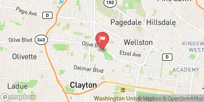
| Geolocation | 38.67, -90.32 |
 Continue with Snoflo Premium