

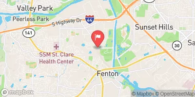
Yarnell Creek At Fenton, Mo Realtime Data
YARNELL CREEK AT FENTON, MO
Realtime Data • Report • Conditions
0
Discharge (cfs)
1.4
Gauge Height (ft)
USGS 07019195
Streamflow discharge was last observed at 0 cfs, and a gauge height of 1.41 feet.
With the
% decrease since yesterday,
the streamflow average over the past 10 days is 0 .
Weather today, Tomorrow,
The flow data is collected by the US Geological Survey and is used to help manage water resources in the region. Yarnell Creek has no major dams or tributaries of note, and its flow is largely dependent on precipitation and seasonal trends. In the summer months, the flow can be quite low, while in the spring and winter it can be high due to increased rainfall and snowmelt. While there are no quirky or interesting facts about the hydrology of Yarnell Creek, it is an important part of the local ecosystem and water supply.
October 22, 2026
| Elevation | 417.0 ft |
| Last Updated | |
| Gage height, ft | 1.41 ft |
| Streamflow, ft³/s | 0.36 ft3/s |
| Percent of Normal | 100% |
| Year Over Year Average | 0 cfs |
| 24hr Flow Prediction | cfs |
| Maximum Recorded | 922 cfs |
| Geolocation | 38.53, -90.45 |
 Continue with Snoflo Premium