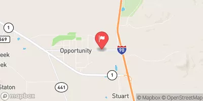
Streamflow discharge was last observed at 9 cfs, and a gauge height of 3.99 feet.
With the
% decrease since yesterday,
the streamflow average over the past 10 days is 9 .
Weather today, Tomorrow,
It is primarily used by the USGS to provide data to a range of constituents such as water management agencies, researchers, and policy-makers. The Willow Creek stream gauge is not directly affected by any specific tributaries or dams, but seasonal trends indicate spring snowmelt and summer rainstorms cause peak flows. Interestingly, the hydrology of the Willow Creek watershed is unique due to its location on the eastern edge of the Rocky Mountains. Additionally, Willow Creek is home to abundant fish and wildlife, including Montana's state fish, the westslope cutthroat trout.
| Elevation | 4,924.0 ft |
| Last Updated | |
| Turbidity, water, unfiltered, monochrome near infra-red LED light, 780-900 nm, detection angle 90 ±2.5°, formazin nephelometric units (FNU) | 2.4 FNU |
| Gage height, ft | 3.99 ft |
| Streamflow, ft³/s | 9.33 ft3/s |
| Temperature, water, °C | 14.8 deg C |
| Percent of Normal | 78% |
| Year Over Year Average | 12 cfs |
| 24hr Flow Prediction | cfs |
| Maximum Recorded | 174 cfs |
| Geolocation | 46.11, -112.81 |