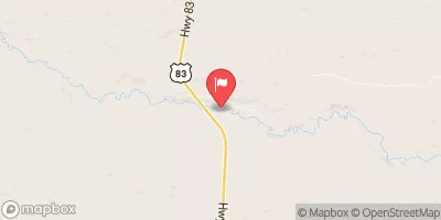
Streamflow discharge was last observed at 250 cfs, and a gauge height of 1.57 feet.
With the
% decrease since yesterday,
the streamflow average over the past 10 days is 254 .
Weather today, Tomorrow,
It has no major tributaries or dams. The river typically experiences low flow during the summer months but has high flows during the spring due to snowmelt. Interesting facts about the Dismal River include its name, which comes from the French word "dismeaux," meaning "ten miles," as the river flows for about ten miles before disappearing underground. The river is also known for its excellent trout fishing, and the surrounding area is home to several scenic hiking trails.
| Elevation | 2,810.0 ft |
| Last Updated | |
| Gage height, ft | 1.57 ft |
| Stream water level elevation above NAVD 1988, in ft | 2801.75 ft |
| Temperature, water, °C | 18.8 deg C |
| Streamflow, ft³/s | 250.0 ft3/s |
| Percent of Normal | 106% |
| Year Over Year Average | 233 cfs |
| 24hr Flow Prediction | cfs |
| Maximum Recorded | 346 cfs |