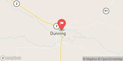
Streamflow discharge was last observed at 518 cfs, and a gauge height of 3.00 feet.
With the
% decrease since yesterday,
the streamflow average over the past 10 days is 535 .
Weather today, Tomorrow,
The river is fed by snowmelt and precipitation, and its flow is influenced by the North Platte River and Calamus Reservoir. The stream has two notable tributaries, the Dismal and Cottonwood Creeks. Seasonally, the river experiences high flow rates in the spring and summer due to increased precipitation and snowmelt. In winter, the flow rate decreases due to frozen water and decreased precipitation. The hydrology of the Middle Loup River is further complicated by the presence of sandhills, which act as a natural filter and recharge area for the groundwater. Overall, the Middle Loup River is an important water source for the surrounding communities, and its hydrology is vital for understanding the local ecosystem.
| Elevation | 2,616.0 ft |
| Last Updated | |
| Gage height, ft | 3.0 ft |
| Stream water level elevation above NAVD 1988, in ft | 2608.2 ft |
| Temperature, water, degC | 4.2 deg C |
| Streamflow, ft³/s | 518.0 ft3/s |
| Percent of Normal | 100% |
| Year Over Year Average | 515 cfs |
| 24hr Flow Prediction | cfs |
| Maximum Recorded | 2,850 cfs |