

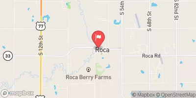
Salt Creek At Roca, Nebr. Realtime Data
SALT CREEK AT ROCA, NEBR.
Realtime Data • Report • Conditions
14
Discharge (cfs)
1.9
Gauge Height (ft)
Streamflow discharge was last observed at 14 cfs, and a gauge height of 1.89 feet.
With the
% decrease since yesterday,
the streamflow average over the past 10 days is 23 .
Weather today, Tomorrow,
The stream is fed by precipitation, surface water runoff, and groundwater, with the primary constituents being dissolved solids, total dissolved solids, and chloride. The stream also receives water inflow from its tributaries, including Little Salt Creek, Oak Creek, and Middle Creek. Additionally, there are several small dams located along the creek, which can impact seasonal flow trends. During the summer months, the flow is typically low due to decreased precipitation, while winter and spring bring increased flow due to snowmelt and rainfall. One interesting fact about the Salt Creek is that it was once used as a trade route by Native American tribes, including the Pawnee and Otoe.
October 23, 2026
| Elevation | 1,212.0 ft |
| Last Updated | |
| Gage height, ft | 1.89 ft |
| Streamflow, ft³/s | 13.8 ft3/s |
| Precipitation, total, in | 0.0 in |
| Percent of Normal | 153% |
| Year Over Year Average | 9 cfs |
| 24hr Flow Prediction | cfs |
| Maximum Recorded | 3,510 cfs |
| Geolocation | 40.66, -96.67 |
 Continue with Snoflo Premium