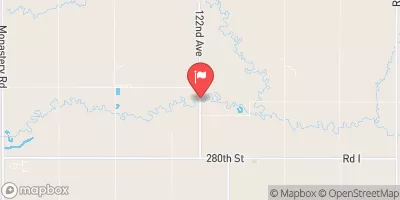
Streamflow discharge was last observed at 13 cfs, and a gauge height of 9.92 feet.
With the
% decrease since yesterday,
the streamflow average over the past 10 days is 17 .
Weather today, Tomorrow,
The creek flows through several small dams and reservoirs, including the Shell Creek Reservoir and the Platte County Dam. Seasonally, the creek experiences higher flows in the spring due to snowmelt and rainfall, while lower flows are observed in the summer and fall. Interestingly, the Shell Creek has been known to cause flooding in the area, particularly in the town of Columbus. Despite this, the creek is a popular destination for fishing and outdoor recreation.
| Elevation | 1,451.0 ft |
| Last Updated | |
| Gage height, ft | 9.92 ft |
| Temperature, water, degC | 12.8 deg C |
| Streamflow, ft³/s | 13.3 ft3/s |
| Percent of Normal | 36% |
| Year Over Year Average | 37 cfs |
| 24hr Flow Prediction | cfs |
| Maximum Recorded | 4,930 cfs |
| Geolocation | 41.53, -97.28 |