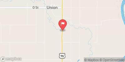
Streamflow discharge was last observed at 27 cfs, and a gauge height of 2.10 feet.
With the
% decrease since yesterday,
the streamflow average over the past 10 days is 39 .
Weather today, Tomorrow,
The creek is fed by various small tributaries and has no major dams. Seasonal trends show increased flow during the spring due to melting snow and decreased flow during the summer months. Interestingly, the creek is named after the Native American tribe, the Otoe-Missouria, who called it "Ni-shu-be-chi" or "weeping water" due to the sound of the creek's flow. The Weeping Water Creek watershed covers approximately 1,171 square miles and includes parts of Lancaster, Cass, Otoe, and Johnson counties in Nebraska.
| Elevation | 945.0 ft |
| Last Updated | |
| Gage height, ft | 2.1 ft |
| Streamflow, ft³/s | 26.6 ft3/s |
| Percent of Normal | 48% |
| Year Over Year Average | 56 cfs |
| 24hr Flow Prediction | cfs |
| Maximum Recorded | 12,700 cfs |
| Geolocation | 40.79, -95.91 |