

Daggett Creek Near Genoa, Nv Realtime Data
DAGGETT CREEK NEAR GENOA, NV
Realtime Data • Report • Conditions
Discharge (cfs)
0.8
Gauge Height (ft)
Streamflow discharge was last observed at 2 cfs, and a gauge height of 0.84 feet.
With the
% decrease since yesterday,
the streamflow average over the past 10 days is 2 .
Weather today, Tomorrow,
It is primarily fed by snowmelt from the surrounding mountains and precipitation, and is influenced by a few tributaries and dams, including the Minden-Tahoe airport pond and Foothill Road detention basin. Seasonally, the creek experiences a significant increase in flow during the spring and early summer months due to snowmelt, but can also be affected by flash flooding during heavy rain events. Interestingly, the creek is known for its high water quality and supports a range of aquatic life, including trout and beavers. Overall, the Daggett Creek stream gauge provides important insights into the hydrology of the region and the impacts of climate change.
October 7, 2026
| Elevation | 5,110.0 ft |
| Last Updated | |
| Gauge Height | 0.84 ft |
| Observed Discharge | cfs |
| Percent of Normal | % |
| Year Over Year Average | cfs |
| 24hr Flow Prediction | cfs |
| Maximum Recorded | cfs |
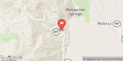
| Geolocation | 38.96, -119.85 |
 Continue with Snoflo Premium