

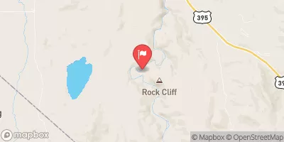
East Fork Carson River Near Gardnerville, Nv Realtime Data
EAST FORK CARSON RIVER NEAR GARDNERVILLE, NV
Realtime Data • Report • Conditions
47
Discharge (cfs)
9.5
Gauge Height (ft)
Streamflow discharge was last observed at 49 cfs, and a gauge height of 9.47 feet.
With the
% decrease since yesterday,
the streamflow average over the past 10 days is 46 .
Weather today, Tomorrow,
The river is fed by snowmelt and precipitation from the surrounding mountains, and is home to several fish species including brown and rainbow trout. The river runs through Carson Valley and is influenced by several tributaries including the West Fork Carson River and Markleeville Creek. The seasonal trends show a peak flow during spring and early summer due to snowmelt, while the flow decreases in the fall and winter. The river is also affected by several dams, including the Topaz Reservoir and the Carson River Diversion Dam. Interestingly, the river was once the site of the Comstock Lode, a major silver ore deposit, and played a significant role in the development of the area.
October 14, 2026
| Elevation | 5,006.0 ft |
| Last Updated | |
| Gage height, ft | 9.47 ft |
| Streamflow, ft³/s | 49.1 ft3/s |
| Percent of Normal | 94% |
| Year Over Year Average | 50 cfs |
| 24hr Flow Prediction | cfs |
| Maximum Recorded | 11,600 cfs |
| Geolocation | 38.84, -119.70 |
 Continue with Snoflo Premium