

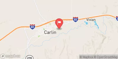
Maggie Ck At Carlin, Nv Realtime Data
MAGGIE CK AT CARLIN, NV
Realtime Data • Report • Conditions
64
Discharge (cfs)
1.9
Gauge Height (ft)
USGS 10322000
Streamflow discharge was last observed at 64 cfs, and a gauge height of 1.85 feet.
With the
% decrease since yesterday,
the streamflow average over the past 10 days is 27 .
Weather today, Tomorrow,
The watershed also includes several small tributaries and is impacted by the Maggie Creek Dam. Flow measurements show seasonal trends with the highest flows occurring in the spring due to snowmelt, and the lowest flows occurring in the summer and fall. Interestingly, the Maggie Creek watershed was heavily impacted by mining operations in the past, leading to significant water quality issues. However, recent reclamation efforts have improved water quality in the watershed.
October 14, 2026
| Elevation | 4,902.0 ft |
| Last Updated | |
| Gage height, ft | 1.85 ft |
| Streamflow, ft³/s | 63.9 ft3/s |
| Percent of Normal | 277% |
| Year Over Year Average | 23 cfs |
| 24hr Flow Prediction | cfs |
| Maximum Recorded | 1,180 cfs |
| Geolocation | 40.72, -116.09 |
 Continue with Snoflo Premium