

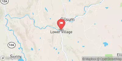
Ashuelot River Near Gilsum, Nh Realtime Data
ASHUELOT RIVER NEAR GILSUM, NH
Realtime Data • Report • Conditions
21
Discharge (cfs)
1.8
Gauge Height (ft)
USGS 01157000
Streamflow discharge was last observed at 21 cfs, and a gauge height of 1.81 feet.
With the
% decrease since yesterday,
the streamflow average over the past 10 days is 45 .
Weather today, Tomorrow,
The river is fed by several tributaries, including the South Branch and the North Branch. There are also several dams along the river, including the Surry Mountain Dam and the Slate Rock Dam. The river's flow is affected by seasonal trends, with higher flows in the spring due to snowmelt and precipitation. Interestingly, the Ashuelot River was once used for transportation and was navigable for small boats up to Keene. Today, the river is a popular spot for fishing, kayaking, and other recreational activities.
October 8, 2026
| Elevation | 810.0 ft |
| Last Updated | |
| Temperature, water, °F | 56.8 deg F |
| Gage height, ft | 1.81 ft |
| Temperature, water, °C | 11.3 deg C |
| Streamflow, ft³/s | 20.6 ft3/s |
| Percent of Normal | 46% |
| Year Over Year Average | 45 cfs |
| 24hr Flow Prediction | cfs |
| Maximum Recorded | 6,840 cfs |
 Continue with Snoflo Premium