

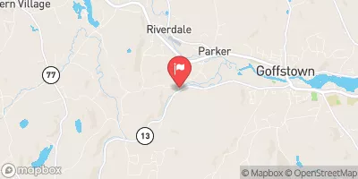
South Branch Piscataquog River Near Goffstown, Nh Realtime Data
SOUTH BRANCH PISCATAQUOG RIVER NEAR GOFFSTOWN, NH
Realtime Data • Report • Conditions
16
Discharge (cfs)
3.1
Gauge Height (ft)
USGS 01091000
Streamflow discharge was last observed at 16 cfs, and a gauge height of 3.10 feet.
With the
% decrease since yesterday,
the streamflow average over the past 10 days is 37 .
Weather today, Tomorrow,
The river is fed by smaller streams and tributaries, and potentially impacted by dams. Seasonal trends in flow can be influenced by precipitation and snowmelt. One quirky fact is that the river was once used for logging, but is now primarily used for recreation such as fishing and kayaking. Overall, the stream gauge provides important information for understanding the hydrology of the South Branch Piscataquog River and its potential impacts on the surrounding ecosystem.
October 8, 2026
| Elevation | 335.0 ft |
| Last Updated | |
| Temperature, water, °F | 58.4 deg F |
| Gage height, ft | 3.1 ft |
| Temperature, water, °C | 11.1 deg C |
| Streamflow, ft³/s | 15.8 ft3/s |
| Percent of Normal | 51% |
| Year Over Year Average | 31 cfs |
| 24hr Flow Prediction | cfs |
| Maximum Recorded | 3,550 cfs |
| Geolocation | 43.02, -71.64 |
 Continue with Snoflo Premium