

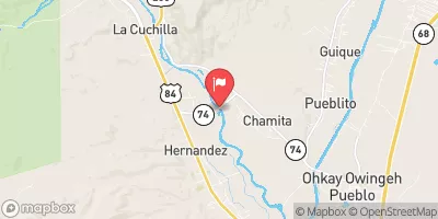
Rio Chama Near Chamita, Nm Realtime Data
RIO CHAMA NEAR CHAMITA, NM
Realtime Data • Report • Conditions
454
Discharge (cfs)
4.4
Gauge Height (ft)
USGS 08290000
Streamflow discharge was last observed at 454 cfs, and a gauge height of 4.39 feet.
With the
% decrease since yesterday,
the streamflow average over the past 10 days is 454 .
Weather today, Tomorrow,
The river is fed by snowmelt and precipitation from the surrounding mountains, and is regulated by the El Vado and Abiquiu dams. The flow of the river is typically highest in the spring and early summer due to snowmelt, and lowest in the fall and winter. The river is popular for fly fishing and is home to rainbow and brown trout. Additionally, the Rio Chama is known for its scenic beauty and has been designated a Wild and Scenic River.
October 9, 2026
| Elevation | 5,666.0 ft |
| Last Updated | |
| Turbidity, water, unfiltered, monochrome near infra-red LED light, 780-900 nm, detection angle 90 ±2.5°, formazin nephelometric units (FNU) | 285.0 FNU |
| Gage height, ft | 4.39 ft |
| Streamflow, ft³/s | 454.0 ft3/s |
| Temperature, water, °C | 17.3 deg C |
| Percent of Normal | 220% |
| Year Over Year Average | 206 cfs |
| 24hr Flow Prediction | cfs |
| Maximum Recorded | 3,530 cfs |
| Geolocation | 36.07, -106.11 |
 Continue with Snoflo Premium