

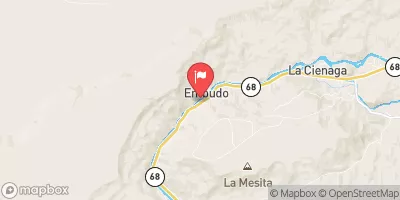
Rio Grande At Embudo, Nm Realtime Data
RIO GRANDE AT EMBUDO, NM
Realtime Data • Report • Conditions
302
Discharge (cfs)
2.6
Gauge Height (ft)
Streamflow discharge was last observed at 302 cfs, and a gauge height of 2.58 feet.
With the
% decrease since yesterday,
the streamflow average over the past 10 days is 472 .
Weather today, Tomorrow,
The primary flow providers for this gauge are snowmelt and monsoonal rains. There are several tributaries that contribute to the flow, including the Rio Chama and Rio Pueblo de Taos. The river is also affected by several dams, including the El Vado Dam and the Abiquiu Dam. The seasonal trends show that the flow is highest during the spring and early summer months, and lowest during the fall and winter. Interestingly, the river was once home to a unique species of fish called the Rio Grande Cutthroat Trout, which is now considered endangered.
October 9, 2026
| Elevation | 5,793.0 ft |
| Last Updated | |
| Turbidity, water, unfiltered, monochrome near infra-red LED light, 780-900 nm, detection angle 90 ±2.5°, formazin nephelometric units (FNU) | 2.0 FNU |
| Gage height, ft | 2.58 ft |
| Streamflow, ft³/s | 302.0 ft3/s |
| Temperature, water, °C | 15.2 deg C |
| Percent of Normal | 101% |
| Year Over Year Average | 299 cfs |
| 24hr Flow Prediction | cfs |
| Maximum Recorded | 5,390 cfs |
| Geolocation | 36.21, -105.96 |
 Continue with Snoflo Premium