

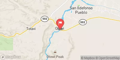
Rio Grande At Otowi Bridge, Nm Realtime Data
RIO GRANDE AT OTOWI BRIDGE, NM
Realtime Data • Report • Conditions
899
Discharge (cfs)
3.7
Gauge Height (ft)
Streamflow discharge was last observed at 899 cfs, and a gauge height of 3.69 feet.
With the
% decrease since yesterday,
the streamflow average over the past 10 days is 1,099 .
Weather today, Tomorrow,
The river is fed by several tributaries, including the Chama River and the Pecos River. The Cochiti Dam, located upstream of the Otowi Bridge, regulates the flow of the river. The seasonal trends for the Rio Grande show that the river is typically highest in the springtime when snowmelt occurs in the mountains. In the summer and fall, the river's flow decreases due to less precipitation and increased water usage. A quirky fact about the hydrology of the Rio Grande is that it is the fourth-longest river in the United States and has been the subject of many poems and songs due to its cultural and historical significance.
October 9, 2026
| Elevation | 5,503.0 ft |
| Last Updated | |
| Turbidity, water, unfiltered, monochrome near infra-red LED light, 780-900 nm, detection angle 90 ±2.5°, formazin nephelometric units (FNU) | 162.0 FNU |
| Gage height, ft | 3.69 ft |
| Streamflow, ft³/s | 899.0 ft3/s |
| Temperature, water, °C | 17.2 deg C |
| Percent of Normal | 157% |
| Year Over Year Average | 570 cfs |
| 24hr Flow Prediction | cfs |
| Maximum Recorded | 7,530 cfs |
| Geolocation | 35.87, -106.14 |
 Continue with Snoflo Premium