

Rio Grande Del Rancho Near Talpa, Nm Realtime Data
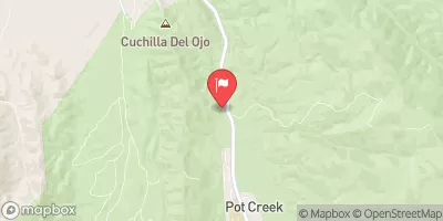
RIO GRANDE DEL RANCHO NEAR TALPA, NM
Realtime Data • Report • Conditions
10
Discharge (cfs)
4.5
Gauge Height (ft)
Streamflow discharge was last observed at 10 cfs, and a gauge height of 4.53 feet.
With the
% decrease since yesterday,
the streamflow average over the past 10 days is 17 .
Weather today, Tomorrow,
The river is fed by snowmelt and precipitation in the mountains and is supplemented by irrigation runoff. The river is also affected by dams and diversion projects, including the Abiquiu Dam and the Middle Rio Grande Conservancy District irrigation system. Seasonal trends show higher flows in the spring and early summer due to snowmelt, followed by lower flows in the fall and winter. Interesting facts include the river's role in the history and culture of the area, including the traditional acequia irrigation system, and its importance as a habitat for various fish species, including the endangered Rio Grande silvery minnow.
October 9, 2026
| Elevation | 7,267.0 ft |
| Last Updated | |
| Gage height, ft | 4.53 ft |
| Streamflow, ft³/s | 10.2 ft3/s |
| Percent of Normal | 272% |
| Year Over Year Average | 4 cfs |
| 24hr Flow Prediction | cfs |
| Maximum Recorded | 319 cfs |
| Geolocation | 36.30, -105.58 |
 Continue with Snoflo Premium