

Rio Hondo Near Roswell, Nm Realtime Data
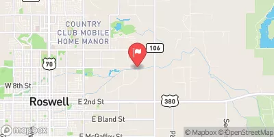
RIO HONDO NEAR ROSWELL, NM
Realtime Data • Report • Conditions
31
Discharge (cfs)
7.1
Gauge Height (ft)
Streamflow discharge was last observed at 31 cfs, and a gauge height of 7.12 feet.
With the
% decrease since yesterday,
the streamflow average over the past 10 days is 33 .
Weather today, Tomorrow,
The river is primarily fed by snowmelt from the nearby Sangre de Cristo Mountains and is known to be affected by seasonal trends such as increased flow during the spring and decreased flow during the summer. There are no significant tributaries or dams along the river. The hydrology of the Rio Hondo is not particularly quirky or interesting, but it does play an important role in providing water for local agriculture and wildlife habitats. College students studying hydrology or environmental science may find this stream gauge useful for monitoring the water levels in this region.
October 22, 2026
| Elevation | 3,520.0 ft |
| Last Updated | |
| Gage height, ft | 7.12 ft |
| Streamflow, ft³/s | 30.8 ft3/s |
| Percent of Normal | 1,162% |
| Year Over Year Average | 3 cfs |
| 24hr Flow Prediction | cfs |
| Maximum Recorded | 1,360 cfs |
| Geolocation | 33.41, -104.48 |
 Continue with Snoflo Premium