

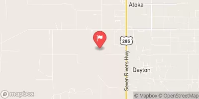
Rio Penasco At Dayton, Nm Realtime Data
RIO PENASCO AT DAYTON, NM
Realtime Data • Report • Conditions
0
Discharge (cfs)
0.2
Gauge Height (ft)
USGS 08398500
Streamflow discharge was last observed at 0 cfs, and a gauge height of 0.19 feet.
With the
% decrease since yesterday,
the streamflow average over the past 10 days is 0 .
Weather today, Tomorrow,
The river is fed by snowmelt and rainfall, and is subject to seasonal variations in flow. The closest dam to the streamgauge is the Bonito Dam, located several miles downstream. The hydrology of the Rio Penasco is interesting due to the fact that it runs through the Lincoln National Forest, which is known for its rugged terrain and scenic beauty. Additionally, the river is an important source of water for both wildlife and human populations in the area.
July 13, 2026
| Elevation | 3,402.0 ft |
| Last Updated | |
| Gage height, ft | 0.19 ft |
| Streamflow, ft³/s | 0.0 ft3/s |
| Percent of Normal | % |
| Year Over Year Average | cfs |
| 24hr Flow Prediction | cfs |
| Maximum Recorded | 897 cfs |
| Geolocation | 32.74, -104.41 |
 Continue with Snoflo Premium