

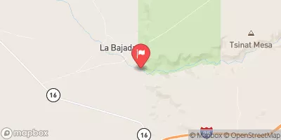
Santa Fe River Above Cochiti Lake, Nm Realtime Data
SANTA FE RIVER ABOVE COCHITI LAKE, NM
Realtime Data • Report • Conditions
44
Discharge (cfs)
1.4
Gauge Height (ft)
USGS 08317200
Streamflow discharge was last observed at 44 cfs, and a gauge height of 1.40 feet.
With the
% decrease since yesterday,
the streamflow average over the past 10 days is 54 .
Weather today, Tomorrow,
The river is also fed by several small tributaries, including the Tesuque and the Nambe. In the summer, the flow decreases due to lower precipitation levels and increased use for irrigation. There are no major dams on the Santa Fe River, but Cochiti Lake serves as a reservoir and flood control structure. Interestingly, the hydrology of the river is affected by the traditional water-sharing practices of the Pueblo people, who have lived in the region for centuries.
October 7, 2026
| Elevation | 5,512.0 ft |
| Last Updated | |
| Gage height, ft | 1.4 ft |
| Streamflow, ft³/s | 43.5 ft3/s |
| Percent of Normal | 4,484% |
| Year Over Year Average | 1 cfs |
| 24hr Flow Prediction | cfs |
| Maximum Recorded | 714 cfs |
| Geolocation | 35.55, -106.23 |
 Continue with Snoflo Premium