

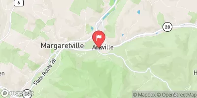
Dry Brook At Arkville Realtime Data
DRY BROOK AT ARKVILLE
Realtime Data • Report • Conditions
73
Discharge (cfs)
2.4
Gauge Height (ft)
USGS 01413408
Streamflow discharge was last observed at 73 cfs, and a gauge height of 2.39 feet.
With the
% decrease since yesterday,
the streamflow average over the past 10 days is 68 .
Weather today, Tomorrow,
There are no significant tributaries or dams in close proximity to the gauge. The flow of the brook tends to be highest in the spring due to increased snowmelt and rainfall, and lowest in the summer and fall. Interestingly, the brook gets its name from the fact that it often dries up during periods of low flow. Despite its name, the Dry Brook is an important water source for the surrounding communities and is closely monitored by the US Geological Survey.
October 14, 2026
| Elevation | 1,338.0 ft |
| Last Updated | |
| Gage height, ft | 2.39 ft |
| Streamflow, ft³/s | 73.2 ft3/s |
| Percent of Normal | 129% |
| Year Over Year Average | 56 cfs |
| 24hr Flow Prediction | cfs |
| Maximum Recorded | 4,540 cfs |
| Geolocation | 42.15, -74.62 |
 Continue with Snoflo Premium