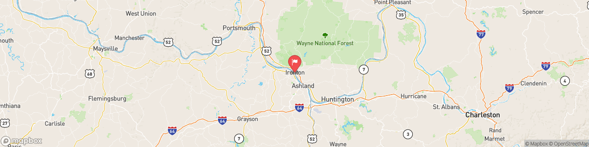
OHIO RIVER AT IRONTON
USGS 03216070
FLOOD WATCH
* WHAT...Flash flooding caused by excessive rainfall continues to be possible. * WHERE...Portions of northeast Kentucky, including the following counties, Boyd, Carter, Greenup and Lawrence, southeast Ohio, including the following counties, Athens, Gallia, Jackson OH, Lawrence OH, Meigs, Morgan, Perry, Vinton and Washington, and West Virginia, including the following counties, Barbour, Boone, Braxton, Cabell, Calhoun, Clay, Doddridge, Gilmer, Harrison, Jackson WV, Kanawha, Lewis, Lincoln, Logan, Mason, Mingo, Northwest Fayette, Northwest Nicholas, Northwest Pocahontas, Northwest Raleigh, ...
Today, A 20 percent chance of showers and thunderstorms after 3pm. Patchy fog before 8am. Otherwise, mostly sunny, with a high near 89. Heat index values as high as 99. Calm wind.
Tomorrow, A 20 percent chance of showers and thunderstorms after 3pm. Patchy fog before 8am. Otherwise, mostly sunny, with a high near 89. Heat index values as high as 99. Calm wind.
5-Day Forecast
Long Term Forecast
16-Day Forecast

Get More With Premium