

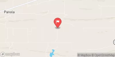
Fourche Maline Near Red Oak, Ok Realtime Data
FOURCHE MALINE NEAR RED OAK, OK
Realtime Data • Report • Conditions
2
Discharge (cfs)
1.7
Gauge Height (ft)
USGS 07247500
Streamflow discharge was last observed at 2 cfs, and a gauge height of 1.69 feet.
With the
% decrease since yesterday,
the streamflow average over the past 10 days is 2 .
Weather today, Tomorrow,
The primary flow providers are rainfall and runoff from surrounding areas. There are no notable dams or tributaries associated with this stream gauge. The stream experiences seasonal fluctuations, with peak flows occurring during the spring and summer months. Interesting fact: the name "Fourche Maline" translates to "Wicked Fork" in French, referencing the river's tendency to flood and cause damage during heavy rain events. Overall, the hydrology of the Fourche Maline River is relatively straightforward and typical of small, rural streams.
October 22, 2026
| Elevation | 554.0 ft |
| Last Updated | |
| Gage height, ft | 1.69 ft |
| Streamflow, ft³/s | 1.98 ft3/s |
| Precipitation, total, in | 0.0 in |
| Percent of Normal | 89% |
| Year Over Year Average | 2 cfs |
| 24hr Flow Prediction | cfs |
| Maximum Recorded | 7,140 cfs |
| Geolocation | 34.91, -95.16 |
 Continue with Snoflo Premium