

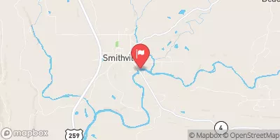
Mountain Fork At Smithville, Ok Realtime Data
MOUNTAIN FORK AT SMITHVILLE, OK
Realtime Data • Report • Conditions
8
Discharge (cfs)
6.1
Gauge Height (ft)
USGS 07338750
Streamflow discharge was last observed at 8 cfs, and a gauge height of 6.07 feet.
With the
% decrease since yesterday,
the streamflow average over the past 10 days is 8 .
Weather today, Tomorrow,
This water flows from several sources including the Ouachita Mountains and the Ouachita National Forest. Nearby tributaries include Big Eagle Creek and Cedar Creek. Lake Wister, a dammed reservoir, may also impact flow rates. Seasonally, water levels tend to be highest in the spring due to snowmelt and rain, and lowest in the late summer and fall. Interestingly, the Mountain Fork River is known for its trout fishing opportunities and is considered one of the best fly fishing destinations in Oklahoma.
October 24, 2026
| Elevation | 674.0 ft |
| Last Updated | |
| Gage height, ft | 6.07 ft |
| Streamflow, ft³/s | 8.41 ft3/s |
| Precipitation, total, in | 0.0 in |
| Percent of Normal | 31% |
| Year Over Year Average | 28 cfs |
| 24hr Flow Prediction | cfs |
| Maximum Recorded | 55,300 cfs |
| Geolocation | 34.46, -94.63 |
 Continue with Snoflo Premium