

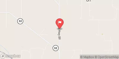
Mud Creek Near Courtney, Ok Realtime Data
MUD CREEK NEAR COURTNEY, OK
Realtime Data • Report • Conditions
0
Discharge (cfs)
7.1
Gauge Height (ft)
USGS 07315700
Streamflow discharge was last observed at 0 cfs, and a gauge height of 7.12 feet.
With the
% decrease since yesterday,
the streamflow average over the past 10 days is 33 .
Weather today, Tomorrow,
The watershed is primarily agricultural and is fed by rainfall and runoff. The creek runs into the Arkansas River and has no major tributaries or dams. Its flow is highest during periods of heavy rainfall or snowmelt, and lowest during dry periods. Interesting fact: Mud Creek was named for its muddy waters caused by the sediment from the surrounding soils. The stream gauge provides important data for understanding the hydrology of the region and managing water resources.
October 14, 2026
| Elevation | 753.0 ft |
| Last Updated | |
| Gage height, ft | 7.12 ft |
| Streamflow, ft³/s | 0.06 ft3/s |
| Percent of Normal | 3% |
| Year Over Year Average | 2 cfs |
| 24hr Flow Prediction | cfs |
| Maximum Recorded | 97,600 cfs |
| Geolocation | 34.00, -97.57 |
 Continue with Snoflo Premium