

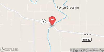
Muddy Boggy Creek Near Farris, Ok Realtime Data
MUDDY BOGGY CREEK NEAR FARRIS, OK
Realtime Data • Report • Conditions
17
Discharge (cfs)
6.9
Gauge Height (ft)
Streamflow discharge was last observed at 17 cfs, and a gauge height of 6.94 feet.
With the
% decrease since yesterday,
the streamflow average over the past 10 days is 56 .
Weather today, Tomorrow,
The creek is fed by multiple sources, including rainfall and runoff from nearby agricultural fields. There are several potential tributaries and dams that could impact the flow of the creek. Seasonal trends show that water levels are highest in the spring due to increased precipitation, and lowest in the summer when it is typically drier. A quirky fact about the hydrology of the area is that the creek's muddy and boggy nature is caused by the high levels of sediment and organic matter in the water. Overall, the muddy boggy creek is an important water source for the surrounding ecosystem and provides valuable data for researchers and policymakers.
October 14, 2026
| Elevation | 469.0 ft |
| Last Updated | |
| DCP battery voltage, V | 12.6 volts |
| Gage height, ft | 6.94 ft |
| Precipitation, total, in | 0.0 in |
| Streamflow, ft³/s | 16.8 ft3/s |
| Percent of Normal | 89% |
| Year Over Year Average | 19 cfs |
| 24hr Flow Prediction | cfs |
| Maximum Recorded | 44,600 cfs |
| Geolocation | 34.27, -95.91 |
 Continue with Snoflo Premium