

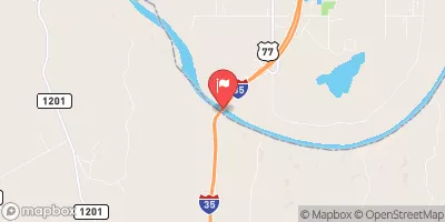
Red River Near Gainesville, Tx Realtime Data
RED RIVER NEAR GAINESVILLE, TX
Realtime Data • Report • Conditions
4,520
Discharge (cfs)
10.6
Gauge Height (ft)
USGS 07316000
Streamflow discharge was last observed at 4,520 cfs, and a gauge height of 10.60 feet.
With the
% decrease since yesterday,
the streamflow average over the past 10 days is 4,669 .
Weather today, Tomorrow,
The primary flow providers to this river are precipitation and runoff from surrounding areas. There are no significant dams or tributaries in this section of the river. Seasonally, the river is subject to high flows during the spring and early summer due to snowmelt and spring rains, and low flows during the fall and winter. Interestingly, the Red River gets its name from the reddish-brown soil that it carries downstream. The river serves as an important source of water for agriculture and municipalities in the region.
October 22, 2026
| Elevation | 640.0 ft |
| Last Updated | |
| Gage height, ft | 10.6 ft |
| Streamflow, ft³/s | 4520.0 ft3/s |
| Precipitation, total, in | 0.0 in |
| Percent of Normal | 1,863% |
| Year Over Year Average | 243 cfs |
| 24hr Flow Prediction | cfs |
| Maximum Recorded | 260,000 cfs |
| Geolocation | 33.73, -97.16 |
 Continue with Snoflo Premium