

Rock Creek At Sulphur, Ok Realtime Data
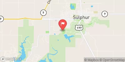
ROCK CREEK AT SULPHUR, OK
Realtime Data • Report • Conditions
6
Discharge (cfs)
5.3
Gauge Height (ft)
Streamflow discharge was last observed at 6 cfs, and a gauge height of 5.30 feet.
With the
% decrease since yesterday,
the streamflow average over the past 10 days is 11 .
Weather today, Tomorrow,
The watershed is mainly composed of rural and agricultural land, with some urban areas. The creek is fed by several small tributaries and is impounded by the Boggy Creek Dam. Seasonal trends show higher flow in the spring due to snowmelt and increased rainfall, and lower flow in the summer and fall. The hydrology of the Rock Creek watershed supports diverse aquatic life and provides important habitat for fish and wildlife. Interesting facts about Rock Creek include its use as a water source for the town of Sulphur and its designation as a scenic river by the state of Oklahoma.
October 23, 2026
| Elevation | 912.0 ft |
| Last Updated | |
| DCP battery voltage, V | 12.6 volts |
| Gage height, ft | 5.3 ft |
| Streamflow, ft³/s | 5.69 ft3/s |
| Percent of Normal | 60% |
| Year Over Year Average | 10 cfs |
| 24hr Flow Prediction | cfs |
| Maximum Recorded | 5,830 cfs |
| Geolocation | 34.50, -96.99 |
 Continue with Snoflo Premium