

Chartiers Creek At Carnegie, Pa Realtime Data
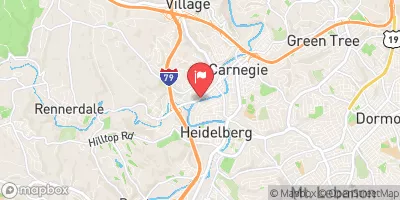
CHARTIERS CREEK AT CARNEGIE, PA
Realtime Data • Report • Conditions
204
Discharge (cfs)
1.3
Gauge Height (ft)
Streamflow discharge was last observed at 204 cfs, and a gauge height of 1.32 feet.
With the
% decrease since yesterday,
the streamflow average over the past 10 days is 259 .
Weather today, Tomorrow,
The creek has several tributaries, including Robinson Run and Millers Run, and is impacted by the dam situated upstream. Seasonal trends show that water levels tend to increase during the spring and fall months due to increased precipitation. Interestingly, the creek flows through several communities and has been the site of various environmental restoration projects aimed at improving water quality and reducing pollutants. Overall, the Chartiers Creek at Carnegie, PA streamgauge provides important data for understanding the hydrology of the area and managing water resources.
October 5, 2026
| Elevation | 779.0 ft |
| Last Updated | |
| Gage height, ft | 1.32 ft |
| Stream water level elevation above NAVD 1988, in ft | 756.22 ft |
| Streamflow, ft³/s | 204.0 ft3/s |
| Percent of Normal | 170% |
| Year Over Year Average | 120 cfs |
| 24hr Flow Prediction | cfs |
| Maximum Recorded | 10,200 cfs |
| Geolocation | 40.40, -80.10 |
 Continue with Snoflo Premium