

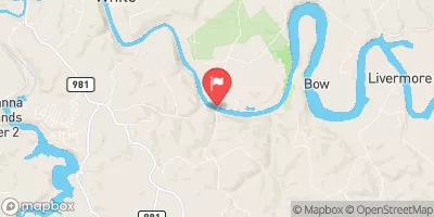
Conemaugh River At Tunnelton, Pa Realtime Data
CONEMAUGH RIVER AT TUNNELTON, PA
Realtime Data • Report • Conditions
2,270
Discharge (cfs)
4.3
Gauge Height (ft)
Streamflow discharge was last observed at 2,270 cfs, and a gauge height of 4.31 feet.
With the
% decrease since yesterday,
the streamflow average over the past 10 days is 2,465 .
Weather today, Tomorrow,
The river is fed by several tributaries including Blacklick Creek and Laurel Hill Creek. The Conemaugh River flows through a series of dams including the Conemaugh Dam, which was built to control flooding. The hydrology of the river is influenced by seasonal trends, with higher flows during the spring and lower flows during the summer and fall. Interestingly, the Conemaugh River was the site of the 1889 Johnstown flood, a catastrophic event that killed more than 2,000 people. Today, the river is an important source of recreation for fishing and boating.
October 23, 2026
| Elevation | 845.0 ft |
| Last Updated | |
| Gage height, ft | 4.31 ft |
| Stream water level elevation above NAVD 1988, in ft | 848.61 ft |
| Streamflow, ft³/s | 2270.0 ft3/s |
| Specific conductance, water, unfiltered, microsiemens per centimeter at 25°C | 261.0 uS/cm @25C |
| Dissolved oxygen, water, unfiltered, mg/L | 10.0 mg/l |
| Temperature, water, °C | 12.4 deg C |
| Percent of Normal | 393% |
| Year Over Year Average | 577 cfs |
| 24hr Flow Prediction | cfs |
| Maximum Recorded | 21,200 cfs |
 Continue with Snoflo Premium