

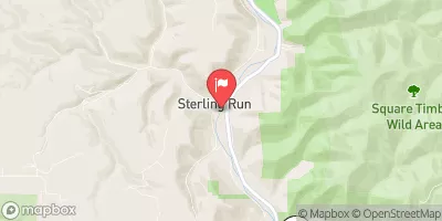
Driftwood Br Sinnemahoning Cr At Sterling Run, Pa Realtime Data
DRIFTWOOD BR SINNEMAHONING CR AT STERLING RUN, PA
Realtime Data • Report • Conditions
55
Discharge (cfs)
-1.1
Gauge Height (ft)
Streamflow discharge was last observed at 55 cfs, and a gauge height of -1.09 feet.
With the
% decrease since yesterday,
the streamflow average over the past 10 days is 73 .
Weather today, Tomorrow,
The gauge measures water flow from various sources, including tributaries and dams. The hydrology of the area is affected by seasonal trends, with increased flow during spring and summer due to snowmelt and precipitation. The stream gauge is essential for monitoring flooding conditions and providing water resource management information. Interesting facts about the hydrology of the region include the impact of beaver dams on water flow and the role of groundwater in maintaining stream flow during dry periods. College students studying water resource management or environmental science may be interested in researching the hydrology of this area in more detail.
October 10, 2026
| Elevation | 894.0 ft |
| Last Updated | |
| Gage height, ft | -1.09 ft |
| Stream water level elevation above NAVD 1988, in ft | 893.19 ft |
| Streamflow, ft³/s | 55.3 ft3/s |
| Percent of Normal | 86% |
| Year Over Year Average | 65 cfs |
| 24hr Flow Prediction | cfs |
| Maximum Recorded | 13,000 cfs |
| Geolocation | 41.41, -78.20 |
 Continue with Snoflo Premium