

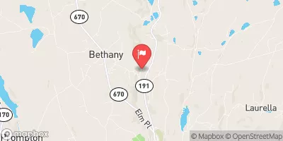
Dyberry Creek Near Honesdale, Pa Realtime Data
DYBERRY CREEK NEAR HONESDALE, PA
Realtime Data • Report • Conditions
50
Discharge (cfs)
2.0
Gauge Height (ft)
Streamflow discharge was last observed at 42 cfs, and a gauge height of 2.00 feet.
With the
% decrease since yesterday,
the streamflow average over the past 10 days is 67 .
Weather today, Tomorrow,
The main constituents of the stream flow are precipitation and groundwater. The creek has several smaller tributaries, including Calkins Creek and Pine Creek. There are no major dams on the Dyberry Creek. Seasonal trends show that the flow rate is typically highest in the spring due to snowmelt and spring rains, and lowest in the late summer and fall. Interestingly, the Dyberry Creek has been known to experience flash floods during heavy rain events. Overall, the streamgauge provides important data for monitoring the hydrology of the Dyberry Creek and its impact on the surrounding environment.
October 16, 2026
| Elevation | 972.0 ft |
| Last Updated | |
| Gage height, ft | 2.0 ft |
| Streamflow, ft³/s | 41.8 ft3/s |
| Precipitation, total, in | 0.0 in |
| Stream water level elevation above NAVD 1988, in ft | 972.07 ft |
| Percent of Normal | 198% |
| Year Over Year Average | 25 cfs |
| 24hr Flow Prediction | cfs |
| Maximum Recorded | 2,030 cfs |
 Continue with Snoflo Premium