

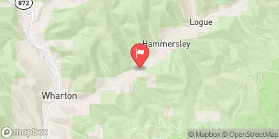
East Fork Sinnemahoning At Wharton Township Realtime Data
EAST FORK SINNEMAHONING AT WHARTON TOWNSHIP
Realtime Data • Report • Conditions
16
Discharge (cfs)
3.5
Gauge Height (ft)
Streamflow discharge was last observed at 16 cfs, and a gauge height of 3.52 feet.
With the
% decrease since yesterday,
the streamflow average over the past 10 days is 17 .
Weather today, Tomorrow,
This stream is primarily fed by natural runoff from surrounding hills and mountains. There are no significant downstream dams or tributaries that would affect its flow. The stream shows seasonal fluctuations with high water levels during the spring and fall and low water levels in the summer. The hydrology of the East Fork Sinnemahoning is of interest because it is part of the larger Sinnemahoning Creek watershed, which includes many other streams and rivers in the region. Additionally, the area is known for its recreational opportunities, including fishing and kayaking.
October 25, 2026
| Elevation | 1,162.0 ft |
| Last Updated | |
| Gage height, ft | 3.52 ft |
| Stream water level elevation above NAVD 1988, in ft | 1158.59 ft |
| Streamflow, ft³/s | 15.5 ft3/s |
| Percent of Normal | 100% |
| Year Over Year Average | 16 cfs |
| 24hr Flow Prediction | cfs |
| Maximum Recorded | 3,960 cfs |
| Geolocation | 41.54, -77.98 |
 Continue with Snoflo Premium